
Walk a Florence Street Directory
Start with one known street number in the City of Florence GIS. Address Search centers the map. Turn on Lauderdale County Land Records, select the parcel, and record the situs address, owner name, TMS or parcel identifier, and any property-card link. Then zoom along the same named street and click one parcel at a time. This method is safer than assuming the county assessment portal accepts a wildcard street query, a feature the published materials do not confirm.
The modern street directory chain moves from land to people evidence. A deed verifies the recorded transfer. A lawful voter-list extract may add registered voters, subject to protected-address omissions. A reverse directory may identify a past occupant. The steps should remain separate because owner, registered voter, and directory householder can be different people.
- Normalize the address in Florence GIS and confirm whether the parcel lies inside the municipal boundary.
- Open the county land-record layer, select the polygon, and save its TMS, owner, situs, and mailing fields.
- Check the Revenue Commissioner property card for the tax year, legal description, values, and sale references.
- Search Probate by the owner's name, then confirm the deed with its legal description and recording date.
- Add voter or reverse-directory evidence only for the exact address and period being researched.
Note: The street walkthrough works parcel by parcel because no official Florence source promises one complete current household list.
Florence GIS Maps Streets First
The Florence Online Mapping Portal is the strongest municipal address tool. Its toolbar includes Address Search, Query, Select, Measure, Print, Drawing, Legend, Data Layers, Bookmark, and Basemap. Published layers include the municipal boundary, zoning, voting precincts, historic districts, and an external Lauderdale land-record layer. Zoning is updated on the first and third Wednesday of each month.
The county parcel service behind the map exposes owner name, physical site address, separate owner mailing components, TMS, map, block, parcel, district, acreage, building value, and property links. The display field is owner name. Service queries cap at 2,000 features, but a normal street directory walk should use selected parcels rather than attempt a bulk extraction. The portal's terms and tools support ordinary interactive research, not scraping.
The official mapping page shown below introduces the GIS tools and available layers.
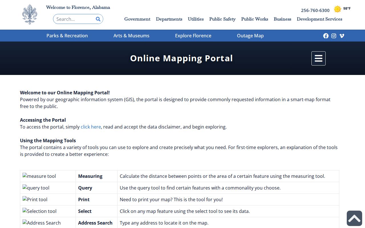
The map is useful for following parcel edges along a named road, but it does not display renters, roommates, family members, or a public utility-customer roll.
Florence Street Addresses Have Two Roles
A situs address is the land's physical location. The owner's mailing address is where the assessment office sends notices. Florence GIS keeps those fields apart as addr_site and mailing components. A mismatch can reflect an absentee owner, estate, company, agent, or another valid mailing choice. A match can support possible owner occupancy, but it still does not prove every current resident.
The Lauderdale appraisal search is reached through the Alabama Department of Revenue county directory. The exact vendor interface is not stable enough to promise every label, but the documented search modes and meanings provide a sound start.
| Field | Input | Street-directory use | Caution |
|---|---|---|---|
| Name | Owner surname or business | Find parcels tied to one owner | Spelling variants may matter |
| Address | Physical street address | Find one situs parcel | Not the owner mailing address |
| Parcel number | County identifier | Retrieve the mapped tract | More durable than a street label |
| PPIN or account | Numeric account | Retrieve assessment details | Availability can vary by screen |
If the roll and deed disagree after a recent sale, call Revenue Commissioner Billy James Hammock at 256-760-5785 and ask which tax year is displayed. Alabama assessment status is tied to the owner on October 1, so a later notice can retain the prior owner's name.
Florence Street Records by Address
No single Florence street directory contains all people at all addresses. Instead, address-keyed sources overlap. GIS and assessment data are strongest for parcels and owners. Probate instruments explain transfers and liens. Sanborn maps show historic building form. Reverse directories can name a surveyed householder. Permit history may date work, but it requires a city request because the web permit system is an application portal, not a public history index.
| Address record | Local keeper | Street evidence | How to reach it |
|---|---|---|---|
| Assessment roll | Lauderdale Revenue Commissioner | Owner, situs, mailing, parcel, values | State-linked portal, phone, courthouse |
| Parcel map | Florence GIS with county data | Parcel edges, owner, boundary, zoning | Free map after disclaimer |
| Deeds, liens, plats | Lauderdale Probate Judge | Parties, legal description, recording reference | Vendor lookup, counter, written request |
| Voter list | Alabama Secretary of State | Selected lawful fields and registration geography | Paid request; protections apply |
| Permit or inspection | Florence Building Department | Work and named project parties | Defined city records request |
| Reverse directory | FLPL Local History | Past occupant by address where volume provides it | In-person directory shelf |
Use the parcel identifier and legal description to bridge records. Street names and numbers can change. Legal land references are the stronger link between assessment, plat, and deed.
Florence Deeds Follow Legal Land
The Lauderdale County Probate Judge's public records portal offers land-record and probate-case lookup buttons. A deed search usually works by grantor or grantee, instrument number, book and page, record date range, and document type. Grantor means the transferring party. Grantee means the recipient. A plat is the recorded map that lays out lots, blocks, streets, and easements.
For one parcel, search the current owner's acquisition as grantee. Confirm the legal description. Then read the grantor and recording date. To move farther back, search that grantor as an earlier grantee. The exact online index cutoff and current image charge are not published in accessible official instructions, so older or missing entries should go to the Probate counter at 200 S. Court Street, 256-760-5804.
- Parcel
- A mapped tract identified by the county assessment system.
- Situs address
- The physical location of the land, distinct from owner mail.
- Plat
- A recorded plan showing subdivision lots, blocks, streets, and easements.
- Criss-cross directory
- A volume arranged by address or phone number, useful for moving from a place to a listed occupant.
Market Street Became Wood Avenue
Wood Avenue was once Market Street. That verified rename is a real obstacle in the Florence street directory, especially when a deed, directory, or map uses an older label. No official citywide renumbering year was found, so an unfamiliar old number should not be forced into a modern grid.
Bridge the address with intersections, subdivision lot and block, deed legal description, and the shape of the block on a Sanborn sheet. Directory entries may also use relational descriptions such as a side of the street or position between cross streets. These clues are more reliable than assuming every old number maps directly to a present parcel.
Florence Street Maps Grew Sevenfold
The Library of Congress holds a six-sheet Florence Sanborn atlas from 1889 and a 41-sheet atlas from 1921. Sanborn maps show street and house numbers, building footprint, material, use, and property form. They do not name residents. The jump from six to 41 sheets reflects a much larger mapped city and explains why a later Florence address may fall beyond the early atlas.
Use a Sanborn map as the physical half of a historical street directory. Match its street, block, and building to the closest directory year, then test the occupant against a deed or census. A reverse section is helpful when present, but the FLPL volume itself must be checked because not every year promises the same arrangement.
Note: The 1921 atlas also labels Rogersville and Waterloo, so confirm the sheet title before treating an entry as Florence.
Florence Directories Name Past Occupants
The Florence-Lauderdale Public Library holds Florence-area city directories beginning with 1900, followed by editions in 1913–14, 1920–21, 1926, 1935, 1941, 1945, the 1950s, and a dense Polk run from 1963 through 2010. Telephone books cover 1929–30, 1948, and 1951–2010. These volumes can connect an address to a surveyed occupant between federal census years.
The historical shelf belongs in depth to the Florence city directory collection. For street work, keep the task narrow: check whether that volume has a reverse or street section, copy the entry exactly, and preserve the edition date. Titles often cover Sheffield, Tuscumbia, Muscle Shoals, or the Tri-Cities with Florence, so location headings and abbreviation keys matter.
Florence Permit History Needs a Request
The Florence Building Department is at 110 W. College Street, Suite 216, and can be reached at 256-760-6325 on weekdays from 8 a.m. to 5 p.m. The city's permit system is built for submissions. Its public screen offers email and password fields, login, forgotten-password help, and account creation. It is not an address-searchable archive of permits or code cases.
The official Florence permit rules shown below explain project scope and jurisdiction.
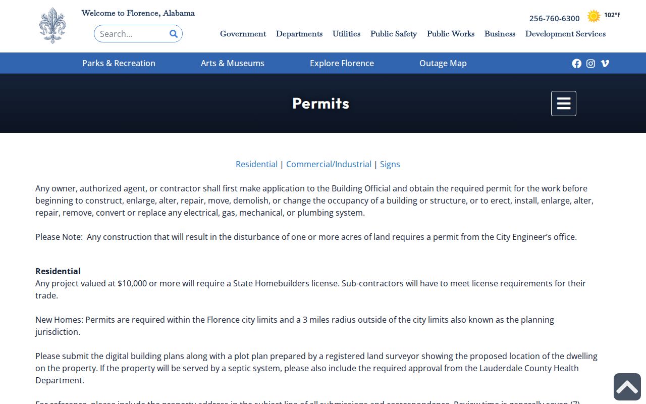
Request history by a normalized address, owner if known, record type, and date span. New-home permit jurisdiction extends three miles beyond incorporation but excludes Center Star, Greenhill, Killen, Lexington, Rogersville, St. Florian, and Waterloo. That service boundary is not the same as a Florence ZIP or city limit.
Florence Streets Cross Postal Boundaries
ZIP 35630 serves the downtown and core street-delivery area. ZIP 35631 is used for city and county post-office boxes, while 35632 is UNA's institutional mail zone. Florence postal addresses in 35633 and 35634 can extend beyond the incorporated city. UNA illustrates another split: its box mail uses 35632, while large east-campus deliveries use a physical address in 35630.
A ZIP is a mail route, not proof of municipal status. Census ZCTAs approximate ZIP geography and are not delivery boundaries. To determine whether one Florence address is in the city, use USPS address verification for mail and the GIS Municipal Boundary layer for incorporation. The parcel legal description, not the ZIP, controls a land transfer.
Florence Voter Data Is Not Street Browse
My Voter Page checks a person's own registration, polling place, and ballot status after identity inputs. It cannot accept a Florence street and return every voter there. A defined voter list is separately requested from the Alabama Secretary of State under Ala. Code § 17-4-38, with selected geography, status, columns, medium, and format. The documented electronic price is $0.01 per voter.
Protected identifiers are omitted, and state affirmations can suppress qualifying addresses. An inactive entry may stem from list-maintenance notices rather than a proved move. Participation history never reveals a ballot choice. A voter list can support a time-bound address clue, but it must not be turned into a claim that every person still occupies that home.
Florence Street Directory Privacy Limits
A parcel map names an assessed owner, not renters, roommates, children, or all family members. A precinct layer shows election geography, not voter names. Utility customers and motor-vehicle addresses do not become public merely because a parcel address is visible. The federal Driver's Privacy Protection Act restricts motor-vehicle personal information, while Alabama voter protections can remove qualifying residential and mailing addresses from generally available lists.
Official sources should be used for family history, parcel research, civic understanding, reconnecting, and fraud avoidance. Correct a parcel or voter error with its custodian rather than spreading a copied result. Commercial neighbor tools can merge names, preserve old addresses, and mistake relatives for occupants. They are not an authoritative substitute for the Florence street directory trail.
Lawful use. Public street and address records do not permit stalking, harassment, threats, or harm under Alabama law.